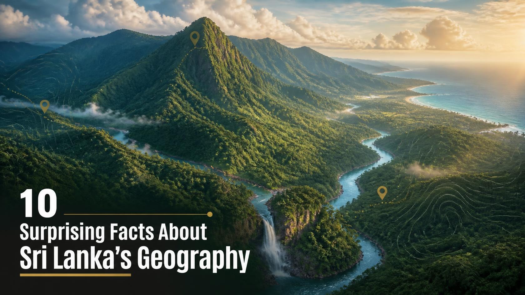
Sri Lanka may look like a small island on the world map, but its geography is remarkably diverse. Located in the Indian Ocean, just southeast of the Indian subcontinent, the country contains mountains, forests, dry plains, wetlands, lagoons, rivers, waterfalls, beaches and coral-rich coastal ecosystems within a relatively compact area.
Its location has also shaped the country’s climate, agriculture, wildlife, settlements and history. From the central mountains that influence rainfall across the island to the deep seas surrounding its shores, Sri Lanka’s geography explains many features of everyday life.
Here are 10 surprising facts about Sri Lanka’s geography that reveal just how geographically diverse the island really is.
1. Sri Lanka Is a Relatively Small Island with Remarkable Geographic Diversity
Sri Lanka covers approximately 65,610 square kilometres, making it a relatively small country compared with many nations. Yet within this area, there are striking differences in landscape and climate.
The island has three broad physical regions: the Central Highlands, the surrounding plains, and the coastal belt. The Central Highlands rise dramatically above the surrounding lowlands, while much of the rest of the island consists of plains with different levels of rainfall.
This variation is one reason Sri Lanka can have very different landscapes within relatively short distances.
A journey from the western coast towards the central mountains can take a traveller from a warm, humid coastal environment into cooler highland conditions. Cities such as Nuwara Eliya experience much cooler temperatures than Colombo because of their elevation.
The island's geographical variety has also created different agricultural zones. Tea dominates many parts of the central highlands, while rice cultivation is widespread in the lowlands and dry zone. Coconut is particularly important in the warmer regions, especially along parts of the western and southern areas.
Therefore, Sri Lanka's small size does not mean its geography is simple. Instead, its compact land area contains an impressive concentration of natural environments.
2. Sri Lanka Has One of South Asia’s Most Important Mountain Landscapes
The Central Highlands of Sri Lanka are among the most important geographical features of the island.
The highest mountain in Sri Lanka is Pidurutalagala, which reaches approximately 2,524 metres above sea level. It is located close to Nuwara Eliya and is sometimes referred to in English as Mount Pedro.
Other important peaks include Kirigalpotta and Thotupola Kanda.
The Central Highlands are much more than a collection of mountains. They influence the island's climate, rivers, forests and agriculture.
The mountains act as a major barrier to moisture-bearing winds. When moist air encounters the highlands, it rises, cools and can produce rainfall. This contributes to the wetter conditions experienced on the southwestern side of the island.
The highlands are also the source area for many important rivers. Their steep slopes allow streams to flow rapidly towards the lower plains.
This means that the mountains have an influence far beyond the areas where they are physically located. They affect water supplies, farming, ecosystems and human settlements across much of Sri Lanka.
3. Sri Lanka’s Central Highlands Are a UNESCO World Heritage Site
One of the most remarkable geographical facts about Sri Lanka is that an important part of its mountain landscape has global conservation importance.
The Central Highlands of Sri Lanka were designated a UNESCO World Heritage Site in 2010. The site includes Peak Wilderness Protected Area, Horton Plains National Park and Knuckles Conservation Forest.
Horton Plains National Park
These highland ecosystems contain forests, grasslands, streams, waterfalls and unique species.
The high elevation and isolation of the mountains have encouraged the development of many species found nowhere else in the world. This makes the region particularly important for biodiversity.
The highlands are also closely connected to Sri Lanka's water resources. Many rivers and streams begin in or around these mountains.
The geography of the Central Highlands therefore has two major dimensions: it is both a spectacular physical landscape and an extremely important ecological system.
Protecting the highlands is important not only for wildlife but also for water, agriculture and communities living downstream.
4. Sri Lanka Has Two Main Monsoon Seasons
Sri Lanka's position in the Indian Ocean gives it a tropical climate, but its rainfall pattern is more complicated than simply being "wet" or "dry."
The island is influenced by the Southwest Monsoon and the Northeast Monsoon, as well as by inter-monsoonal rainfall.
The Southwest Monsoon generally brings rainfall to the southwestern part of the island, while the Northeast Monsoon is particularly important for the northern and eastern regions.
The Central Highlands play a major role in this geographical pattern. Mountains can force moist air upwards, producing increased rainfall on windward slopes while creating relatively drier conditions on the other side.
This helps explain why Sri Lanka has distinct wet, intermediate and dry climatic zones.
The wet zone includes much of the southwestern region and receives relatively high annual rainfall. The dry zone covers large areas of the north, north-central, eastern and southeastern parts of the country.
This geographical difference has influenced settlement patterns and agriculture for centuries.
5. Sri Lanka Is the Source of Many Important Rivers
Sri Lanka does not have extremely long rivers compared with large continental countries, but its rivers are geographically important.
The country's longest river is the Mahaweli River, which flows for roughly 335 kilometres before reaching the sea near Trincomalee.
The Mahaweli River basin has played an important role in Sri Lanka's agriculture and water management. Large irrigation and hydropower projects have been developed within the Mahaweli development system.
Other important rivers include the Kelani, Kalu, Walawe and Gin rivers.
Most Sri Lankan rivers originate in the central highlands and flow towards the coast. The steep elevation differences create opportunities for waterfalls and hydropower.
The river systems also support agriculture, wetlands, forests and settlements.
This is another example of how Sri Lanka's geography is interconnected. The mountains influence rainfall, rainfall feeds rivers, rivers support agriculture, and agriculture influences where people live and work.
6. Sri Lanka Has Both Wetlands and Dry Landscapes
It may seem surprising that a relatively small tropical island contains both extensive wetlands and very dry landscapes.
Sri Lanka's dry zone receives significantly less rainfall than the wet zone, yet it contains important forests, grasslands, tanks and wetlands.
Ancient irrigation systems are particularly important in the dry zone. Thousands of tanks and reservoirs were developed over centuries to store water during periods of lower rainfall.
Some of these reservoirs have become important habitats for birds, elephants and other wildlife.
At the same time, Sri Lanka has internationally important wetlands. The Muthurajawela Wetland near Colombo is one example of a coastal wetland ecosystem that provides habitat for many species and also performs important environmental functions.
Wetlands can store water, reduce flooding, filter pollutants and support biodiversity.
Sri Lanka's geography therefore demonstrates that tropical environments are not all the same. Rainfall, elevation, soil and proximity to the sea create very different ecosystems across the island.
7. Sri Lanka Has an Extraordinary Coastline for Its Size
Sri Lanka is surrounded by the Indian Ocean and has a coastline of roughly 1,600 kilometres, depending on the measurement method used.
For an island of its size, this creates an enormous variety of coastal environments.
There are sandy beaches, rocky shores, lagoons, mangroves, estuaries, coral reefs and coastal wetlands.
The western and southern coasts contain many famous beaches, while the eastern and northern regions have their own distinctive coastal landscapes.
The coast has also played a major role in Sri Lanka's history. Maritime trade connected the island with India, the Middle East, Southeast Asia and other parts of the world for centuries.
Today, coastal geography continues to influence tourism, fishing, ports and settlement.
However, the coastal environment is also vulnerable to erosion, pollution, storms, sea-level rise and poorly planned development. Protecting beaches, mangroves, coral reefs and other coastal ecosystems is therefore increasingly important.
8. Sri Lanka Has Coral Reefs, Lagoons and Mangrove Ecosystems
Sri Lanka's geography is not limited to what can be seen on land. The waters around the island contain important marine ecosystems.
Coral reefs occur in several parts of Sri Lanka's coastal waters. These ecosystems provide habitat for numerous marine organisms and can also help reduce the energy of waves reaching shore.
The island also contains many lagoons and estuaries.
The Puttalam Lagoon, Negombo Lagoon and Batticaloa Lagoon are examples of major lagoon systems.
Puttalam Lagoon
These environments support fisheries, birds, mangroves and other wildlife while also providing livelihoods for coastal communities.
Mangrove forests are particularly valuable because their complex root systems provide shelter for fish and other organisms. They also help stabilize coastlines and store carbon.
Sri Lanka's marine and coastal geography is therefore an important part of the country's natural wealth.
9. Sri Lanka Is Close to India but Is a Separate Island
Sri Lanka is separated from India by the Palk Strait and the Gulf of Mannar.
The distance between the two countries is relatively short in geographical terms. In the area between northern Sri Lanka and southeastern India lies a chain of limestone shoals and sandbanks known as Adam's Bridge, also called Rama's Bridge.
The shallow waters of this region have historically influenced navigation and human movement between India and Sri Lanka.
The geographical closeness between the two countries has also had enormous historical and cultural significance.
At the same time, Sri Lanka's island status has allowed distinctive ecosystems and species to develop. Over long periods, populations separated by water can evolve differently from related populations on the mainland.
This contributes to Sri Lanka's high level of endemism.
Its position between the Indian subcontinent and the wider Indian Ocean has therefore given the country both geographical connections and biological uniqueness.
10. Sri Lanka Has an Extraordinary Level of Biodiversity for Its Size
Perhaps the most surprising geographical fact is how much biodiversity exists within such a relatively small area.
Sri Lanka is recognized as one of the world's important biodiversity hotspots. Its forests, mountains, rivers, wetlands, grasslands and coastal ecosystems provide habitats for a huge variety of plants and animals.
The island has many endemic species, meaning species that naturally occur nowhere else in the world.
This is particularly noticeable among amphibians, reptiles, freshwater fish, plants and other groups.
Sri Lanka's biodiversity is closely connected to its geography. The mountains, climate differences, isolated forests and varied habitats have created conditions for species to evolve in different environments.
The island's location also contributes to its importance as a stopover and wintering area for migratory birds travelling along the Central Asian Flyway.
National parks such as Yala, Udawalawe, Wilpattu and Horton Plains protect different geographical environments and wildlife communities.
The combination of tropical climate, mountains, rainfall variation and island isolation makes Sri Lanka particularly rich in biological diversity.
Conclusion
Sri Lanka's geography is far more complex than its relatively small size might suggest. The island contains high mountains, extensive plains, forests, wetlands, rivers, lagoons, beaches, coral reefs and marine ecosystems within a compact area.
The Central Highlands influence rainfall and provide the sources of many important rivers. The monsoon system creates major differences between the wet and dry regions. Coastal ecosystems support fisheries, wildlife and tourism, while the island's geographical isolation has contributed to its remarkable number of endemic species.
Geography has also influenced Sri Lanka's history and development. Ancient civilizations depended on rivers and irrigation systems, while coastal communities developed strong connections with the Indian Ocean and international trade.
Understanding Sri Lanka's geography helps explain much more than where mountains and rivers are located. It helps explain why different parts of the country have different climates, crops, wildlife, lifestyles and economic activities.
For a country covering only about 65,610 square kilometres, Sri Lanka contains an extraordinary range of natural environments. That combination of compact size and geographic diversity is one of the island's most remarkable characteristics.